Naughty Citees
Department of Regrettable Toponymy
Sheets are issued on cotton and worn
Sheet No. 2 · Entry as recorded
Mollie's Nipple
Utah
- Latitude / Longitude
- 37.1284477° N / 113.2977994° W
- County
- Washington
- Quadrangle
- Hurricane
- Elevation
- 4595 ft
- Class
- Summit
- GNIS Feature ID
- 1454335
- Name Entered in Record
- 12/31/1979
CLASSIFICATION: SUMMIT · WASHINGTON COUNTY, UTAH
NAME VERIFIED AGAINST GNIS. NO REVISION RECOMMENDED.
FIVE SUMMITS OF THIS NAME ARE RECORDED IN THIS STATE.
THE DEPARTMENT TAKES NO POSITION ON THE NAME.
Variant Names on File
Molleys Nipple · Sugarloaf Butte · Sugar Loaf Butte
Name ratified by decision of the Board on Geographic Names, 1959.
Revision History
Entries recorded in order received| Date | Description | Authority |
|---|---|---|
| 1959 | Name ratified by decision of the Board | U.S. Board on Geographic Names |
| 1979 | Entry established in the Geographic Names Information System | U.S.G.S. |
| 1981 | Variants recorded: Molleys Nipple, Sugarloaf Butte, Sugar Loaf Butte | U.S.G.S. |
| 1981 | Phase I data compilation closed | U.S.G.S. |
| 2026 | Sheet issued. Name unamended. | The Department |
5 entries. No entry has been struck.
Petitions for amendment are retained on file and answered in writing.
FOUR FURTHER SUMMITS OF THIS NAME ARE RECORDED IN KANE, BEAVER AND UTAH COUNTIES. THEY ARE NOT DOCUMENTED ON THIS SHEET.
ELEVATION SUPPLIED BY 3DEP. ANCILLARY DATA, NOT OFFICIAL BOARD RECORD.
PETITIONS FOR AMENDMENT ARE RETAINED ON FILE AND ANSWERED IN WRITING.
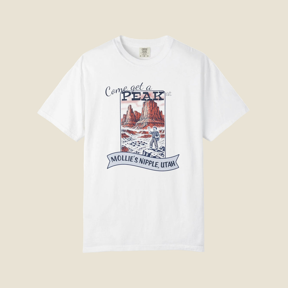
Plates are reproductions. Colour may vary between issues. The motion pass is silent.
Garment Specification
Complete all fieldsAccount as given by local usage
Mollie's Nipple
State of Utah· Washington County
Local usage attributes the name in Kane County to a settler who is said to have applied it to the landform in honour of his wife. No such account is on file for the Washington County entry, and the Department has not sought one.
A decorous alternative was available. Sugarloaf Butte and Sugar Loaf Butte are both recorded as variant names of this summit. The Board went the other way.
Source: U.S. Board on Geographic Names, decision of 1959
Adjoining Sheets
No relation is established.
Pussy Creek
Ohio
- Lat / Long
- 39.7306242° N / 82.1012543° W
- County
- Perry
- Elevation
- 762 ft
- Class
- Stream
- Issued On
- Cotton, ring-spun
- Price per Sheet
- $34.00
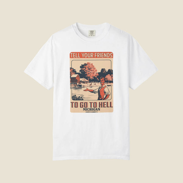
Hell
Michigan
- Lat / Long
- 42.4347571° N / 83.9849477° W
- County
- Livingston
- Elevation
- 888 ft
- Class
- Populated Place
- Issued On
- Cotton, ring-spun
- Price per Sheet
- $34.00
Each sheet is ordered from its own page. No consolidated order form is provided.